
Day 01
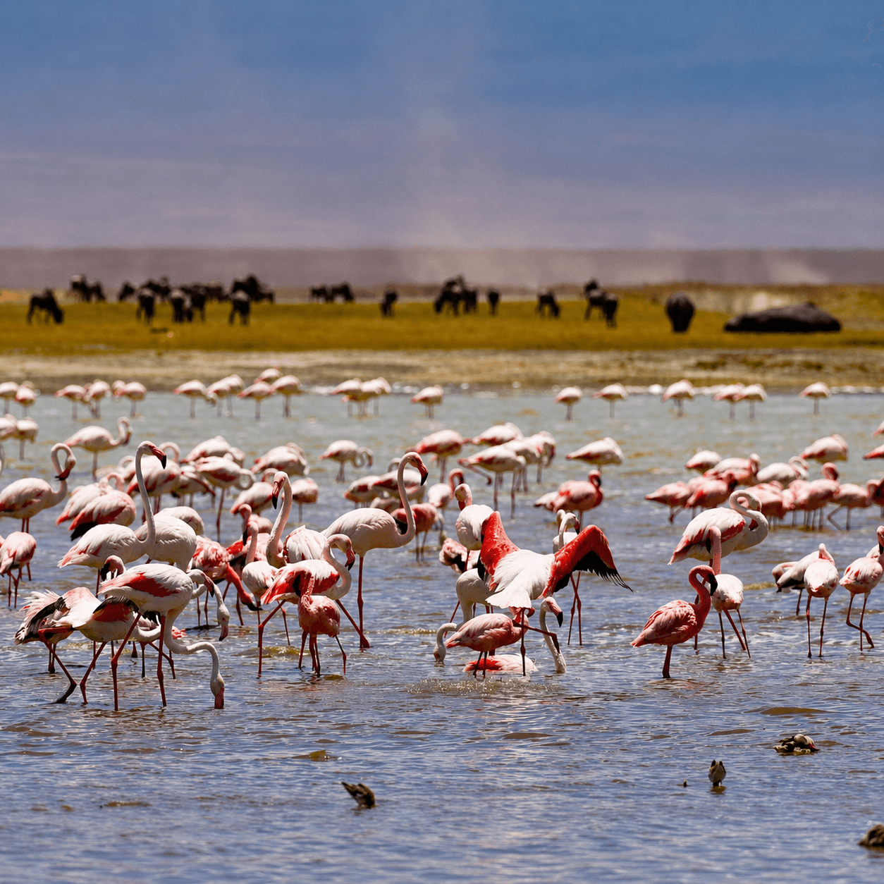
Field04 / 08
RegionGreat Rift Valley
Position3.38° S · 35.82° E
Lake Manyara
CharacterForest meets the lake
Best forBirdlife · Lakeshore drives · Rift Valley views
ContinueScroll to enter ↓
A distinct landscape
A compact, surprising park of groundwater forest, open lakeshore and the dramatic wall of the Rift Valley.
When to goJune–October · November–June
Useful stay1–2 nights
Best forBirdlife · Lakeshore drives · Rift Valley views
GatewayArusha · Manyara Airstrip · Karatu
Let the landscape
set the pace.
Good guiding is knowing when to move—and when to stay exactly where you are.
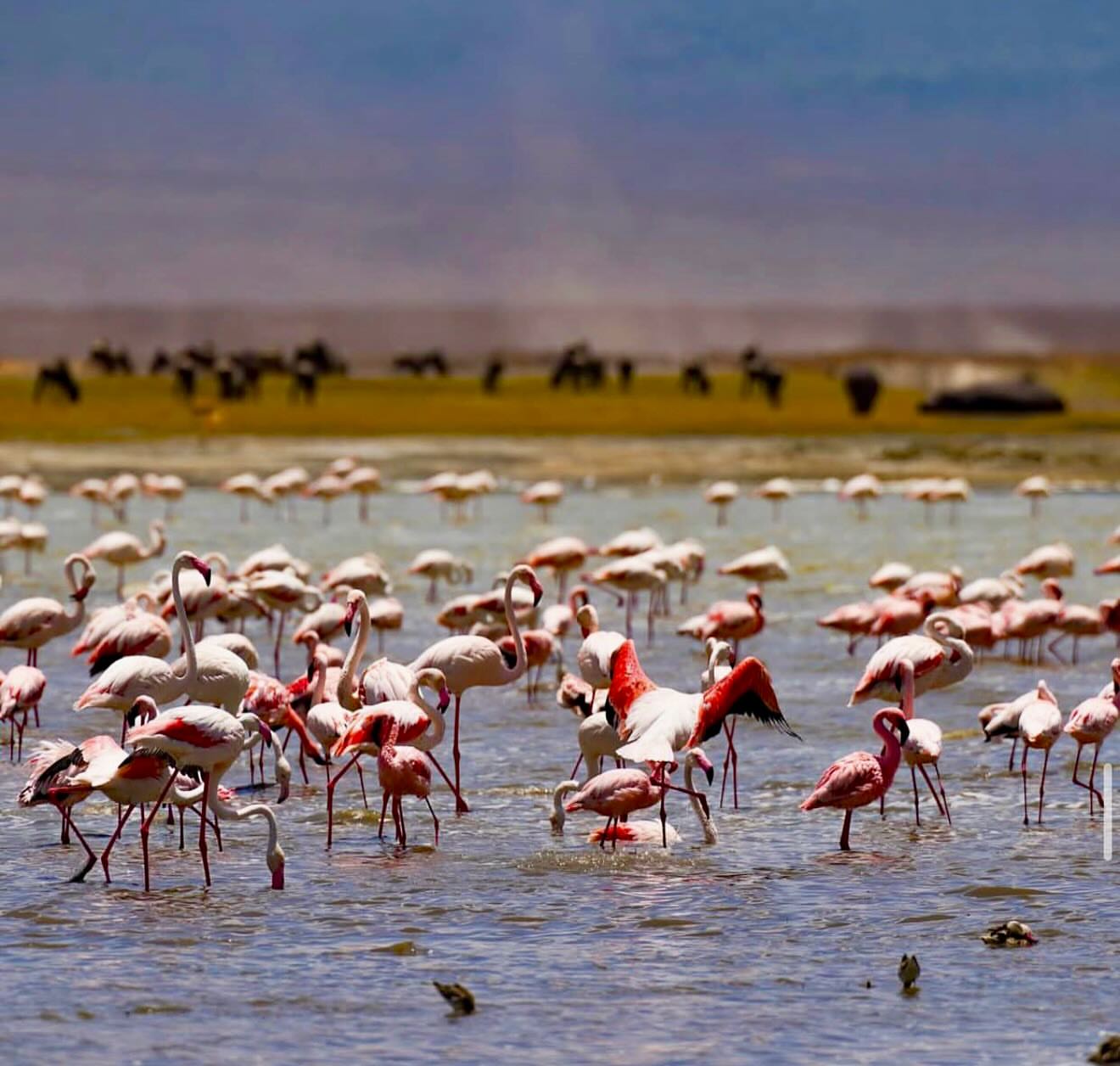
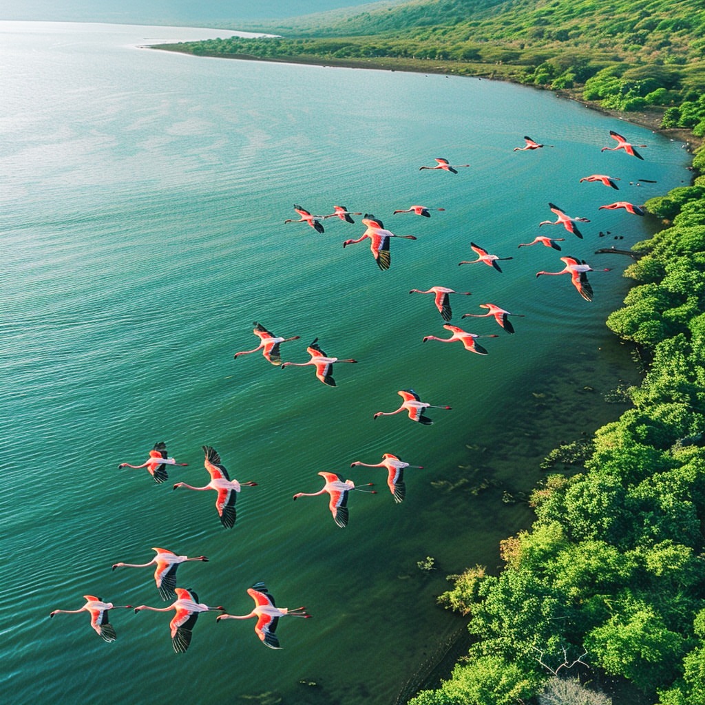
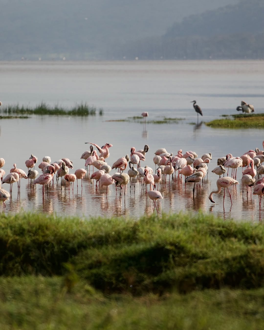
Swipe through the field photography →
Satellite imagery · exact destination position
Find Lake Manyara
on the land.
Great Rift Valley3.38° S · 35.82° E
Drag the satellite field to read the surrounding terrain. The marker uses the destination’s real geographic coordinates.
Loading satellite terrain…
Exact positionLake Manyara-3.3800, 35.8200
Drag to move · use + / − to zoom
A suggested rhythm
Three days,
unfolding.
A starting point, never a fixed script. Every day bends around light, weather and what the landscape is doing.↘
Day 02
The lakeshore
Watch the changing birdlife and take in the escarpment from the water’s edge.Day 03
North to south
A final quiet drive through one of the northern circuit’s most varied landscapes.Swipe through the three-day rhythm →
Before you go
Know the place
before the gate.
Getting there
Arusha · Manyara Airstrip · Karatu
Drive roughly two to two and a half hours from Arusha, or use Manyara Airstrip for a scheduled bush-flight connection.TANAPA Lake Manyara visitor guide ↗How to pace it
A considered half or full day can be enough for the park, with a second night used for the escarpment, Mto wa Mbu or a slower connection onward.
Groundwater forest
Begin under fig and mahogany canopy, where the shade, primates and bird calls feel entirely different from the open plains.
The moving shoreline
Water level and season change access and bird distribution; the lake should be read as a living system, not a fixed flamingo photograph.
Rift Valley context
Pair the park with time on the escarpment or in nearby Mto wa Mbu to understand the agricultural and geological landscape around it.
Swipe through the signature experiences →
Field notes
- Compact park
- Manyara rewards close observation more than distance. It should not be sold as a miniature Serengeti.
- Water levels
- Road access and wildlife patterns change with rain and lake expansion; current conditions matter.
- Connection
- It combines naturally with Tarangire, Ngorongoro and onward Serengeti travel.
A journey, composed around you
Ready to choose
your route?
See Lake Manyara packages↗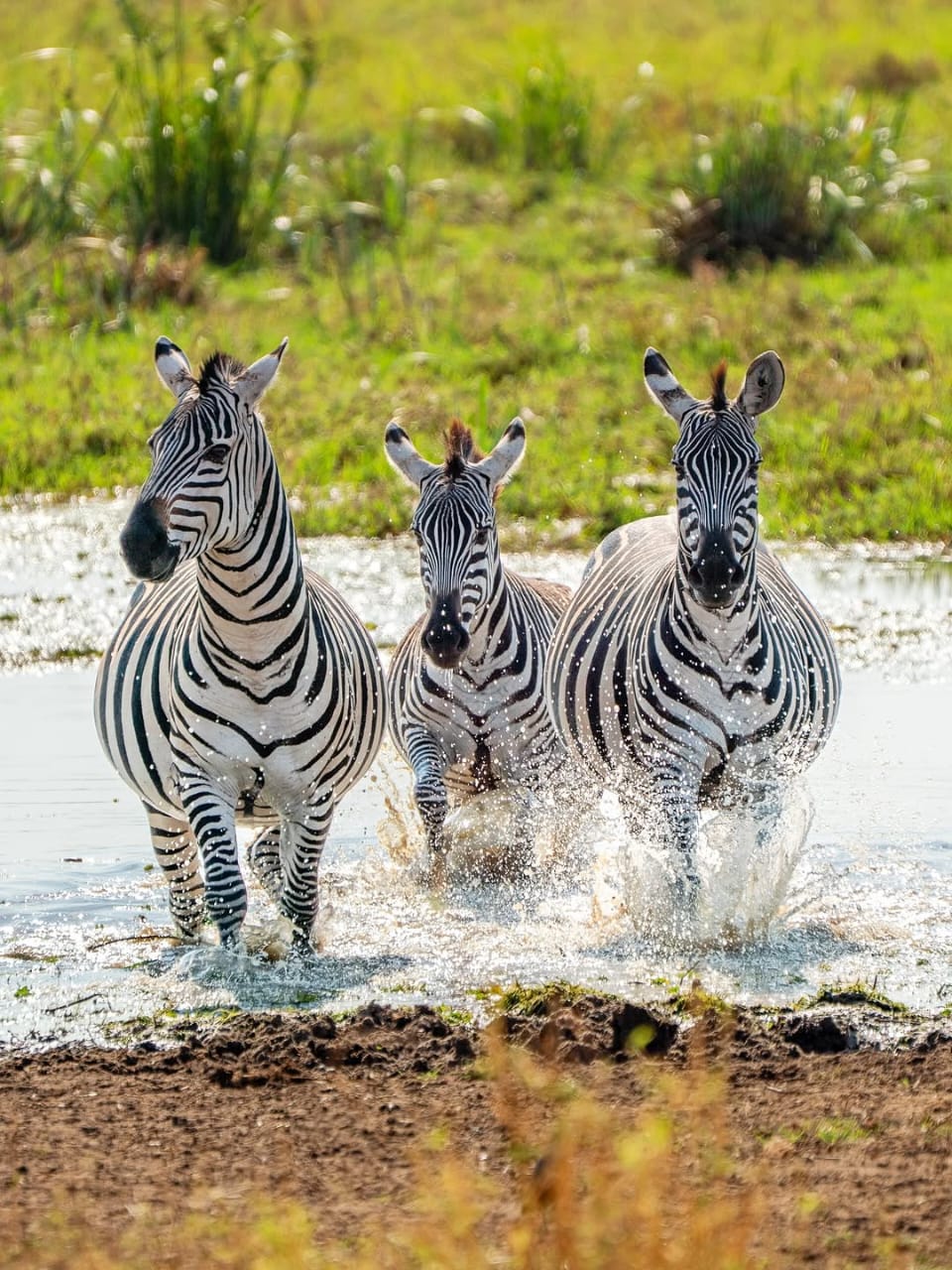
Continue onward · 05 / 08
Tarangire↗Planning references 05
Travel well-informed.
Public authorities and sector organizations worth knowing before you cross the country.




Independent travel references. Displayed marks link to their respective organizations and do not imply endorsement of Zanzibar & Tanzania Safaris.